The weather in this place is very changeable. When I stepped out of the tent around 8:00AM, completely clouded over. By 9AM, completely blue sky. Good day to have a clean slate. After talking to Rick this morning, decided on the zoo. It is apparently a solid one.
I also learned from Rick about the store of food that is ripe for the picking in the morning - the stuff that other people leave behind in a giant pile. He scored a couple of fresh kiwi fruits, I managed a bag of muesli. It tastes better 'cuz it's free.
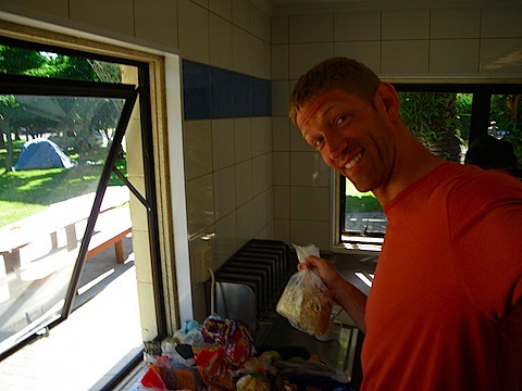 Avast ye, maties - I've plundered the camp, and taken this muesli. Yar.
Off we go to the zoo. It really is a nice one, well-kept and clean. Lots of families, kids, the usual. And us. It was NZ$19 admission.
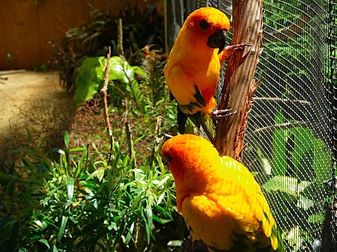 Pretty bird! Pretty bird! Can you say "pretty bird"? (Name that movie in the comments section for bonus points)
Interestingly, no bears in this zoo. They did have the requisite elephants, monkeys, reptiles, birds, and a really cool tunnel they keep completely dark for the kiwis.
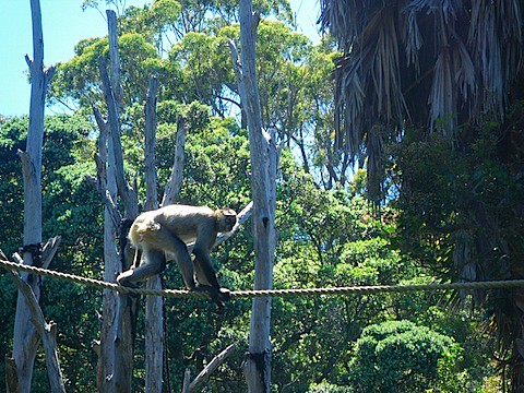 The rope crossing was one of the preliminary festivities to the crowd favorite: monkey knife fights.
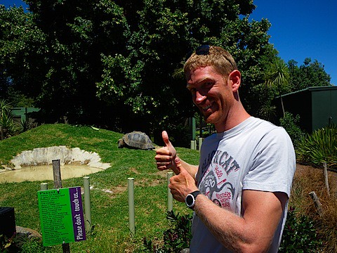 This turtle and I had an instant connection: He is the slowest thing on four legs, I am the slowest thing on two wheels.
Grabbed some lunch around 1PM. I chose the hot dog. Hot dogs in New Zealand are one of the weird quirks of this country - the hot dog is some sort of plasticy sausage, and they cut the bun vertically rather than horizontally. All in all, ballparks all over America can rest easy tonight knowing that the secret to a really good hot dog has not, at least, made it to New Zealand.
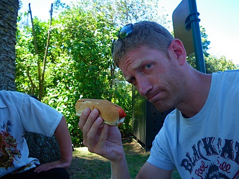 I mean, come one. Vertically-cut bun? Obviously dyed plastic-related mystery meat sausage? Play-Doh makes a better version than this.
They fed the spider monkeys and the lions for the crowds, though, which is good. I didn't see them actually feed the lion, and just saw it gnawing on a limb:
 Lioness gnawing on a bone. I wish I could say that it was her camouflage that made her hard to see, but really it was my picture taking skillz.
It made me wonder a bit when I saw this sign by the alligator area:
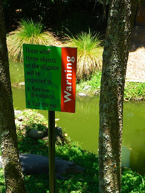 The alligator looked plastic, but was very real.
I definitely did not throw anything at animals after that.
Despite having them stuck in a small enclosure, I still have not seen a kiwi. They were apparently hiding in their den, continuing my streak of kiwi-lessness.
One really cool thing that I had not seen in any other zoo was a network of tunnels under the meerkats with places you could pop up, protected by a plexiglass bubble, to check them out. I didn't see meerkats, but I did see a different animal.
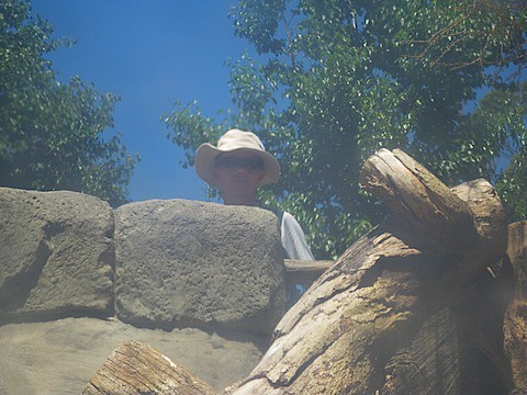 This particular species, or homo erectodorkus, wears hats to suggest status. This particular male of the species must be near the top, even for a country close to Australia.
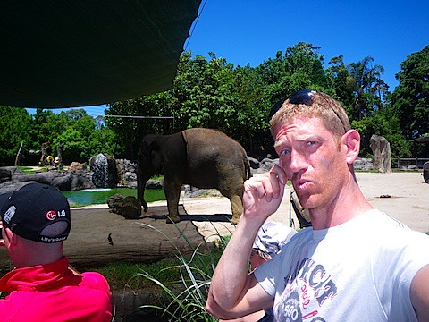 Managed to find the elephant, my ear-brothers.
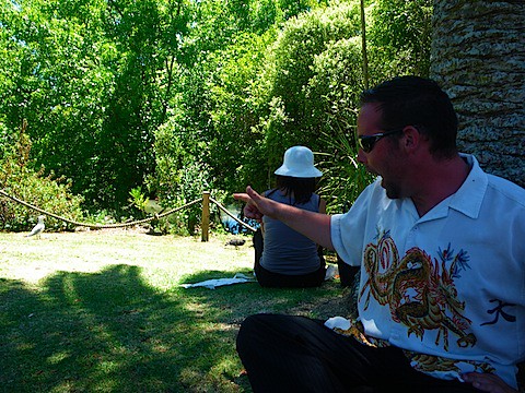 Rick, pointing to the rare and endangered Sea-Gull. It was a real treat.
Eventually, got tired of animals and made it back to the camp. I took a little siesta with a cool breeze drafting through the tent.
Woke back up again and it was STILL nice and sunny. Time for some activity. I fired up the ol' Bluebird and headed up to Mt. Eden, the highest point in the Auckland area. It is an old volcano cone, and rises about 600 feet. Good place for a run.
It actually didn't take long to get to the top thanks to the steepness of the trail. Only in New Zealand will you find the downtown of the biggest city in the country overlooked by grazing cattle - I passed a herd on my way up and had to play avoid-the-fresh-manure (sort of like hopscotch with worse consequences for messing up) on the trail.
 Auckland from the top of Mt. Eden.
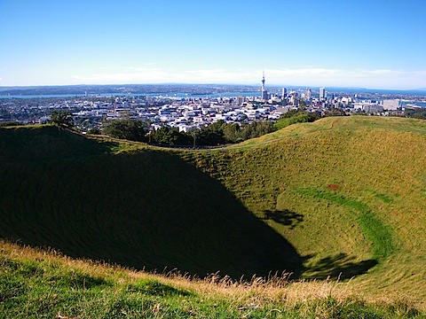 The volcanic cone. It is considered sacred to the Maori, so of course later a bunch of tourists were messing around in the bottom of it despite the signs to the contrary.
Ran back down the mountain and then around the town of Mt. Eden - a very ritzy place with some higher-class shops and nice houses.
Once finished running, headed back up to the top by car and read my book for an hour and a half, despite the gusty winds.
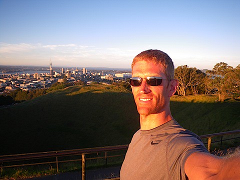 Sun setting over Mr. Eden
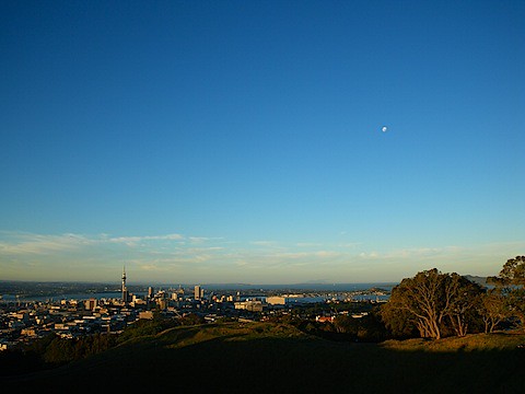 My glitzy shot of the day, caught the moon and the city together.
Drove back and made dinner, scrounging some vinegar, olive oil, and pepper for the bread I had. Tried to make tuna+pasta+tomato sauce, not actually as bad as it sounds. A quick shower and I am now in the tent.
Tomorrow, planning on taking the car back. Should hear something about the bike. E-mailed them today to see if we can get some arrangement going where I would pay for it, and they would refund money based on the warranty outcome. I've lost about 10 days of bicycling and it is starting to wear on me - I only have about 6 weeks to go 1500 miles or so. We shall see how it goes.
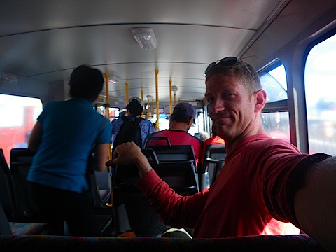 Back of the bus - old school bus habits die hard.
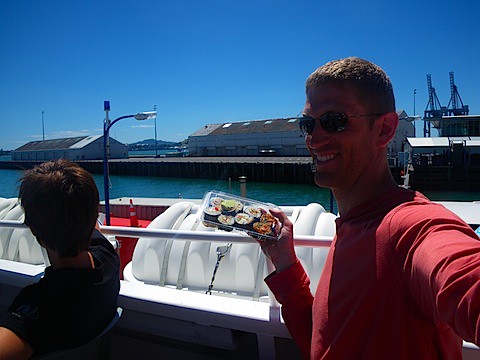 On the top of the ferry with sushi. Delicious, but it is like playing with fire - if I eat too much sushi, I get queasy. Being on a boat can make me queasy, too. Luckily, no rice and chicken was horked today.
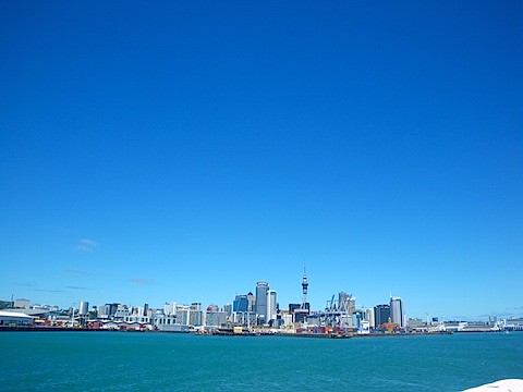 Auckland downtown from the ferry.
 Coming into Waiheke Island. Lots of little sailboats, big houses on the shore. The island is a lot bigger than this picture makes it out to be.
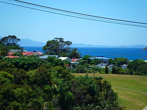 The biggest town on Waiheke Island. It looks like every house has a view. The telephone wires are just a bonus.
 Aurora, Gretel, Nick, and me. Aurora looks angry in this picture, but I think only because she had just made a New Year's resolution not to drink alcohol.
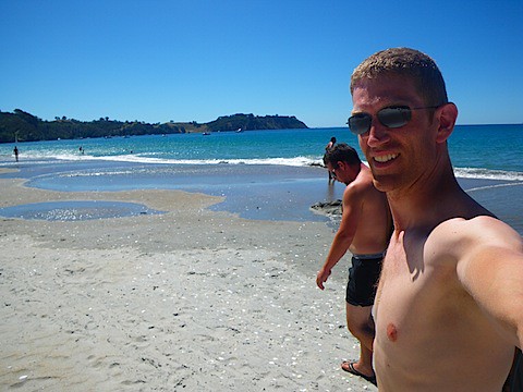 Worth every minute of the three hours we spent getting here today.
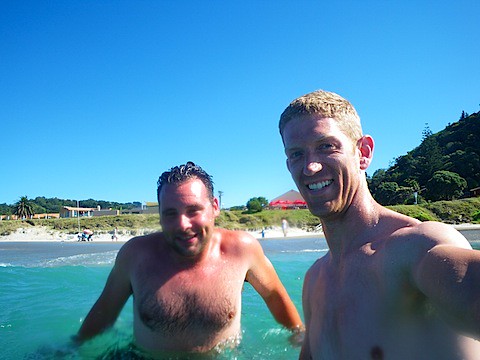 Swimming. The water is cool, but not cold. The sun helps a lot.
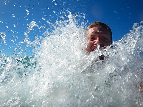 Don't laugh too much - taking a one-handed shot while body surfing is not as easy as advertised.
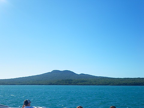 Other islands between Waiheke Island and the mainland. Doesn't look like the same kind of vertical adventure that Tongiriro Natl Park was.
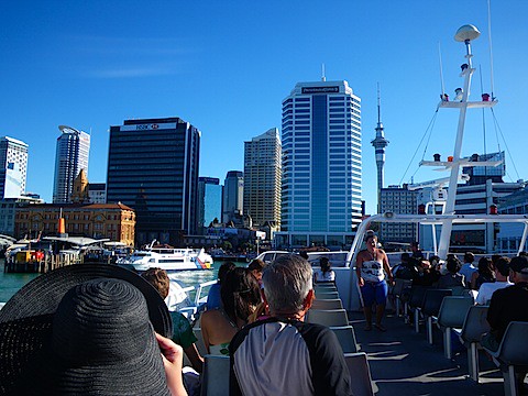 Coming back in to Auckland. Note the large "mombrero" in the lower left.
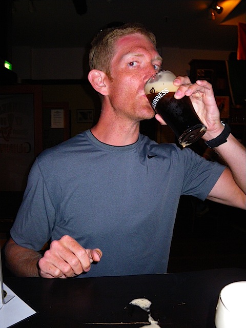 Much of the meal was the Guinness itself.
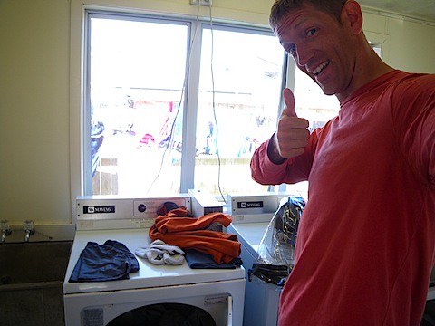 Improving the smell of my car, one article of clothing at a time.
 Crossing over the Coromandel Peninsula - once again, glad I can car this one. Steep and curvy.
 Some more typical New Zealand scenery, mostly to make all of my Alaskan friends stuck in the deep, dark winter jealous.
 Man, I wish I could be running room to room in some clinic right now. Would be so much more fun!
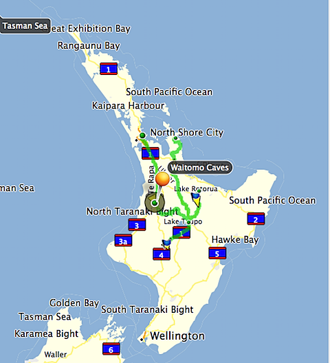 General map of where I've been in the car so far - Waitomo Caves, Taupo, Rotorua, Tongariro Natl Park. The green line heading up on the right side is today's drive. The little peninsula that it is sitting on is the Coromandel Peninsula. The little dot at the end of that is Whitianga, my goal today.
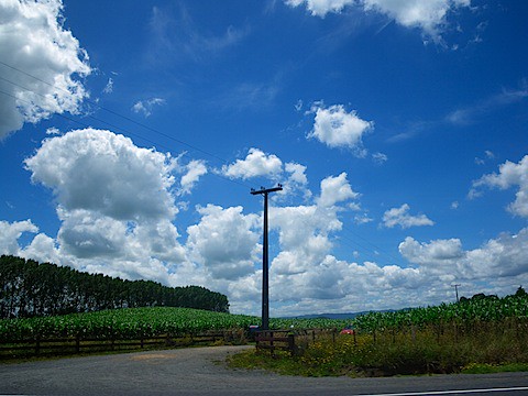 There were acres of land without telephone poles, but I managed to get one!
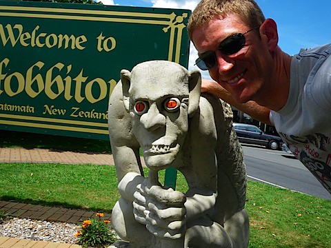 This guy reminded me of a patient of mine. This picture is precioussssss.
 Area around Hobbiton.
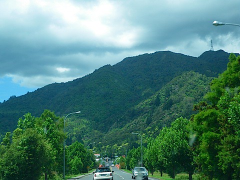 One of the small towns in the Coromandel region. The road eventually cuts across the mountains ahead. Very nice when you are burning gas rather than calories.
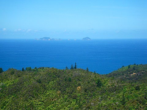 Looking out over the eastern coast of the Coromandel peninsula. I have no idea what the name of those islands are, therefore, from now on, they will be named Armstrong Island and Cox Island. You heard it here first.
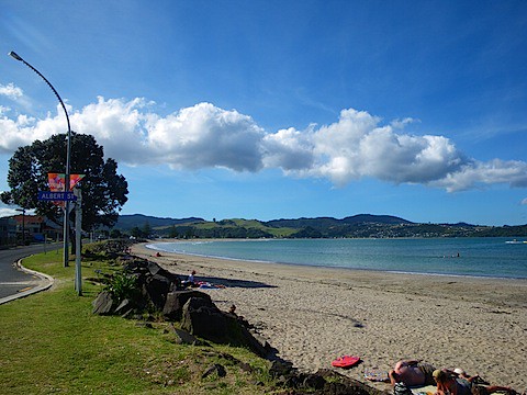 The town is to the left of the picture. Few people out on the beach despite the perfect weather.
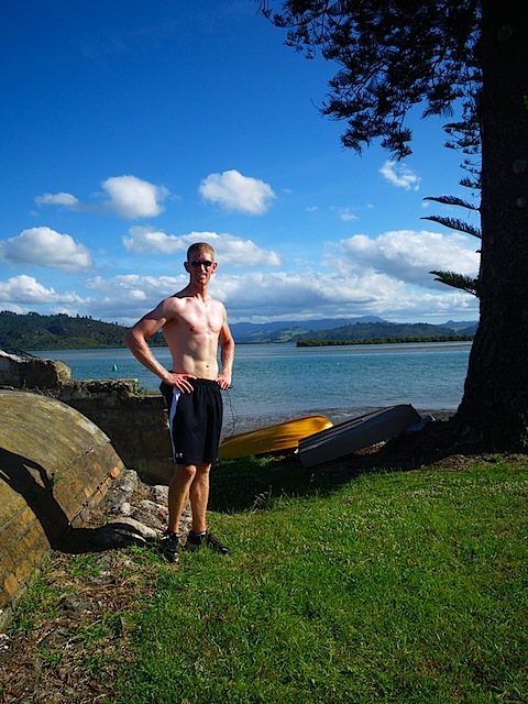 Looking south toward the little inlets. Advantage of this picture is that I could test the white balance right off my chest.
 This is the Cold Water Beach next door to the Hot Water Beach.
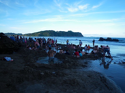 Apparently, there is no warm water in the rest of the country. Dang.
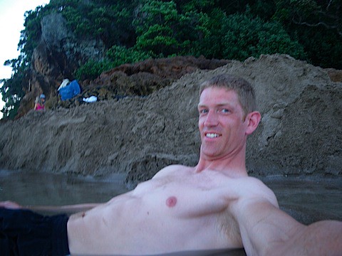 Ahhhh. Perfection.
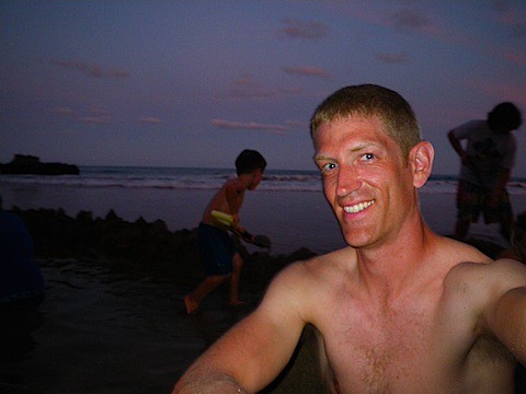 Child labor laws are lax on this beach. Excellent.
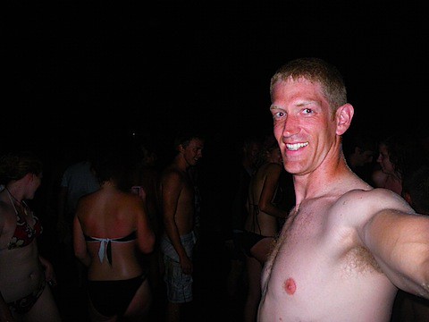 Just after the tsunami waves destroyed the pools for good.
 Stormy Lake Taupo. This was between dumps of rain so that I didn't get soaked taking the picture.
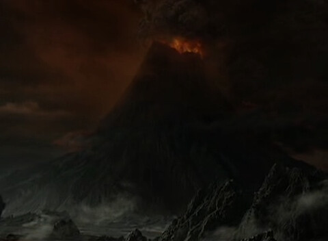 MT. DOOM.
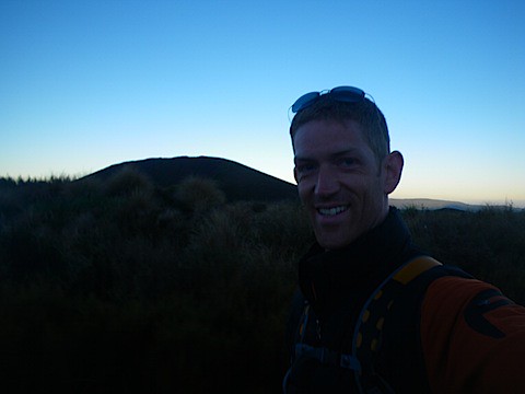 Just at the trailhead - I took this picture while walking to avoid any time wastage.
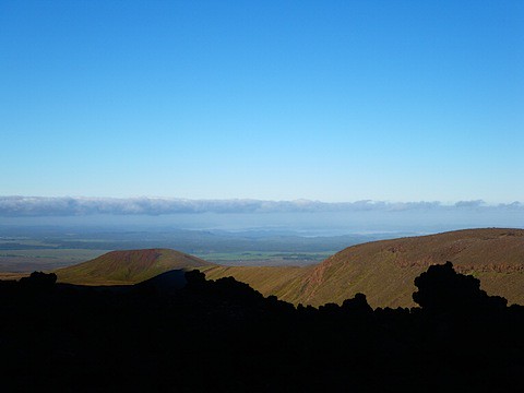 Looking back past the very odd volcanic formations on the Devil's Staircase
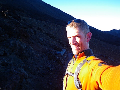 First sun I got to see thanks to the mountain shadow.
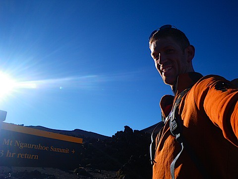 I look excited at this point.
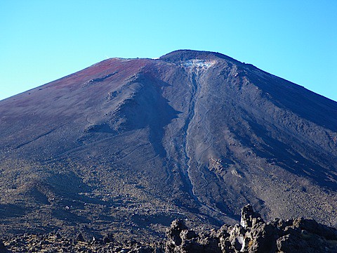 It is good for my morale that I have no sense of scale, as a human-sized object on the side of the mountain is not even recognizable.
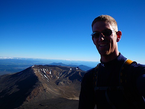 About 2/3 of the way up, more layers removed. Smile is a bit more forced, I think. The picture just above this one was taken from that flat area at the bottom of this picture.
 I never resorted to this on MY trip to Mt. Doom, hence the title of today's entry.
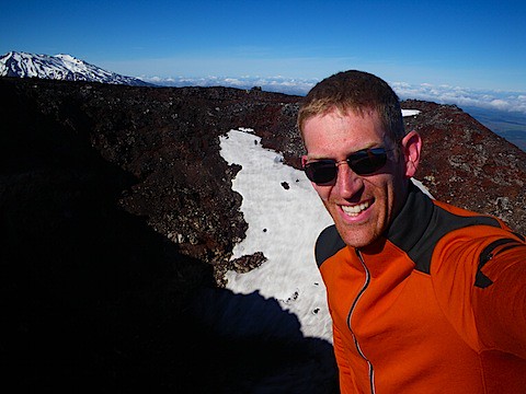 Looking down into the cone. It's Sunday, so they turn off the fire and brimstone.
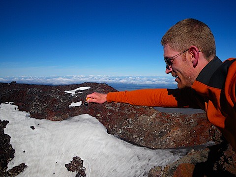 One keyring to rule them all, one keyring to find them. . .
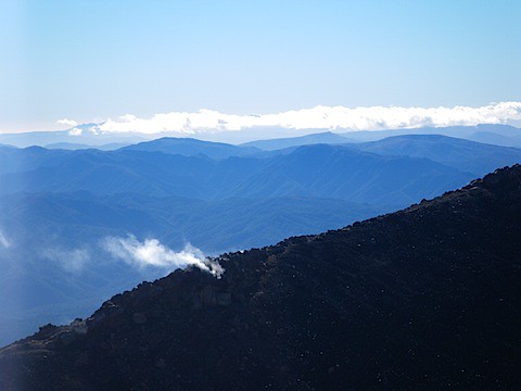 Mt. Doom apparently didn't read the surgeon general's warning.
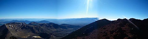
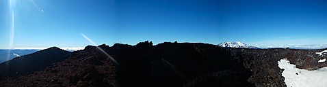
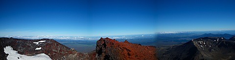 (I kind of screwed up the last panoramic, but you get the idea).
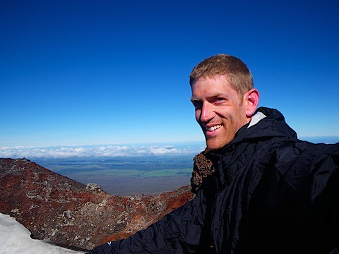 Windy up here - the gusts give you a little kick in the gut every time they push you toward the crater cliff.
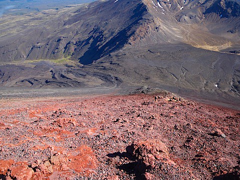 The terrain going down. When you hear me complain about it, just remember the angle. Rocks loosened from above didn't stop rolling.
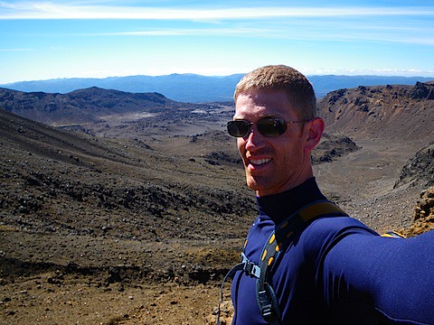 Mordor-ish
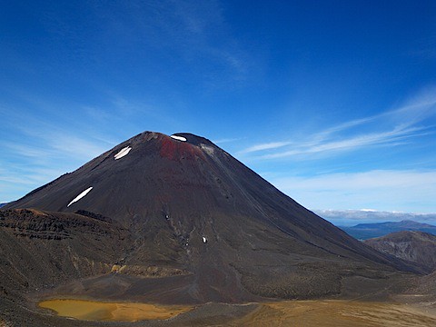 Mt. Doom from the ridge of the next mountain over.
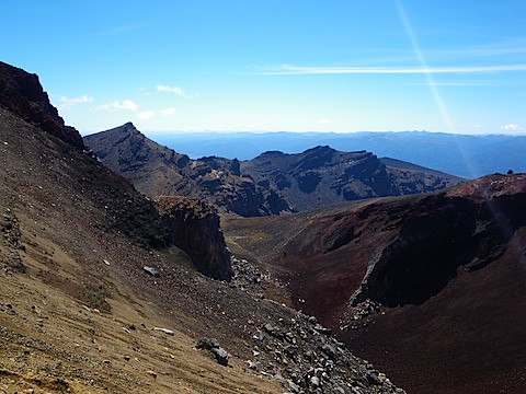 Rugged and sharp.
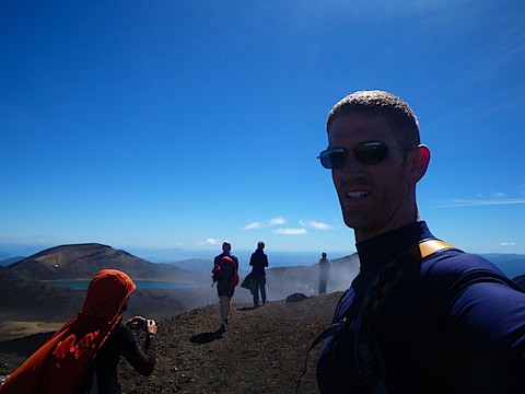 Smoke came out of the ground right next to the path. It smelled GREAT! The ground all around here was nice and warm, though.
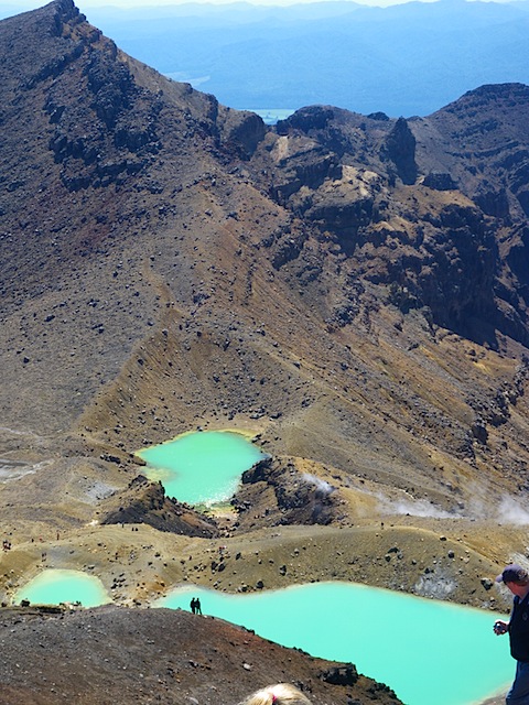 Volcanic pools, I thought, but they were cold.
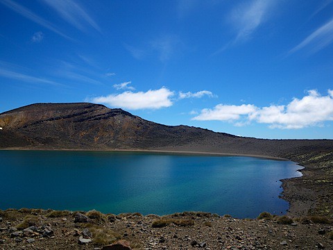 Emerald Lake. It's a green if you were wondering.
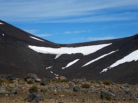 Stony alpine, to. . .
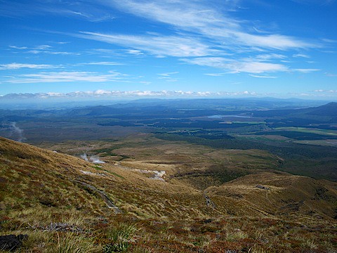 Tundra and grass, to. . .
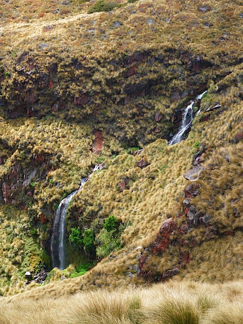 More grass and waterfalls, to. . .
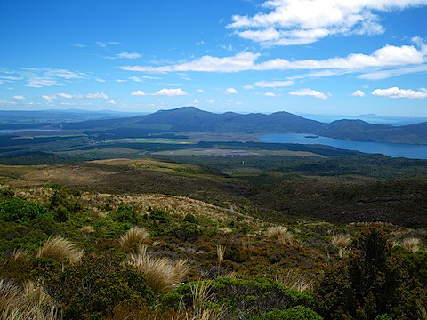 Scrub and low bushes, to. . .
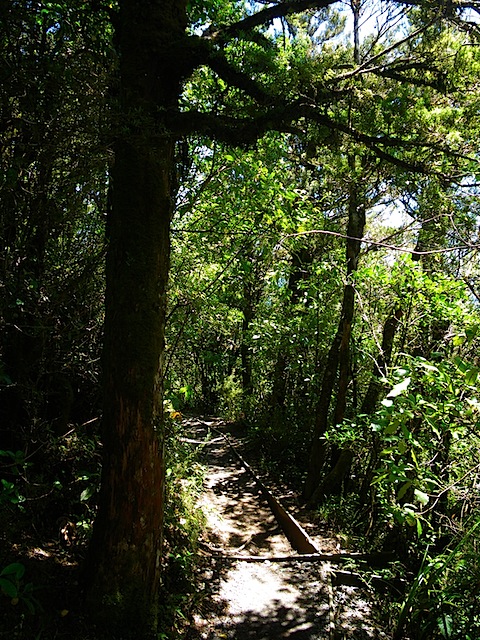 Full-blown forest.
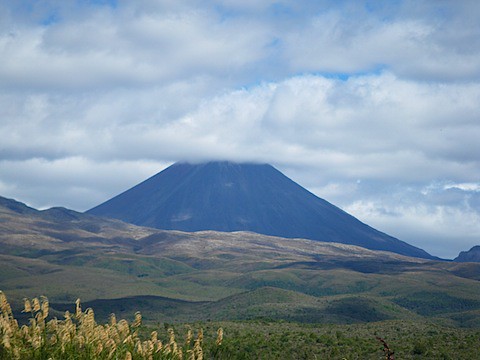 Mt Doom, now shrouded in clouds and looking much more sinister and movie-like.