Wake up reasonably early. No rain, which is nice. I am in a determined mood, as the day will start almost immediately going uphill and windy. I am mentally prepared. Gassed up with bananas and muesli and coffee, it is soon time to push off.
 Franz Josef, minus the cloudcover but plus the ultraviolet rays. Yes, I put on sunscreen.
Warm up the legs over about 5 miles, then start the climb. On the altitude map, it shows three very steep spikes, all in a row over 22km before Fox Glacier. They total about 2000 feet of elevation gain. Luckily, they are not as steep as I was led to believe.
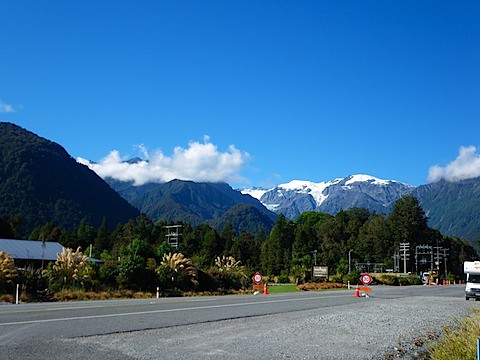
 This is the very first part of what I get to go over today. You know how the camera adds 10 lbs? It also makes nasty hills look positively relaxed.
At about 700 sweat-inducing feet of climb, I end up at the end of a line of cars waiting for construction. Being one of the last ones there, when they finally get the "go" signal, they've already been waiting, but signal me through and give a bit of encouragement. I can feel my heart treading dangerously close to "rhumba on cocaine and Red Bull" (speed-wise only, people!) as I up my tempo through the uphill construction zone. They kindly hold off traffic until I make it through the kilometer.
 Be prepared. I like mountains, and there is no cost to develop film in a digital camera.
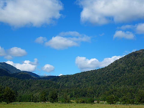
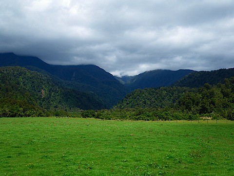
 Between the first and second climb. Surprisingly, there were no sheep or cattle at ALL in this picture.
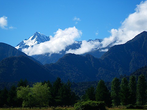
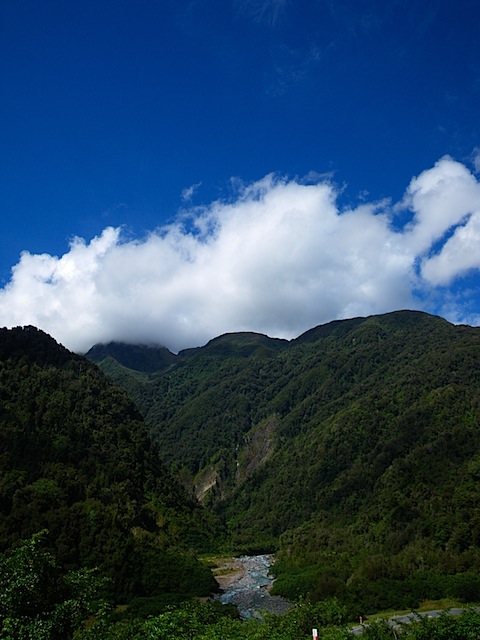 Coming through the second climb. I like to call this "River, Mountain, and Cloud #955".
 The top of the final hill. I'm looking ahead (Quick lifesaving point: New Zealanders drive on the left, not the right).
After finishing off this spectacular run, I end up in Fox Glacier, a little town that seems to have built mostly on foreign currency. It is a big stop for a lot of tour buses, and once again, I am treated to the fast-moving lilt of French, Danish, German, and a series of wacky English accents.
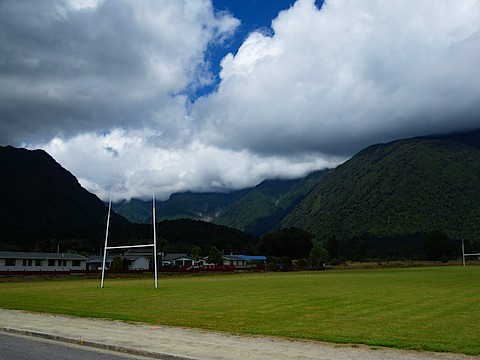 Looking over the rugby field toward the glacier, which is not visible. Come to think of it, why did I put this one in?
I spent about an hour kicking back at a cafe with some hot food (fish burger and a Coke) to placate my barkin' dogs.
The big decision, then. I had planned to make this kind of a half day to rest, but Lake Paringa is only 40 miles away. The pure sugar and caffeine of Coke Classic decides for me - I am going for it.
On my way out of town, decide to take the road up to the Fox Glacier viewpoint. Who knows when I am going to see it again? It adds about 4 miles to the journey and I realize that this side trip is much less fun when dragging all my equipment along.
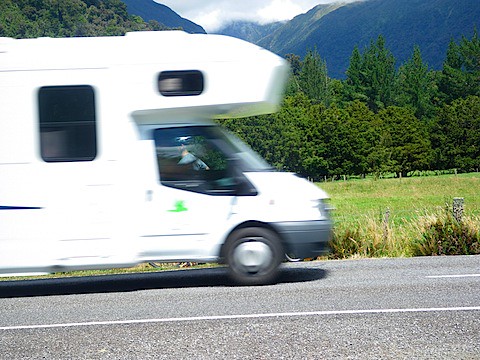
 This is me, fighting the Man.
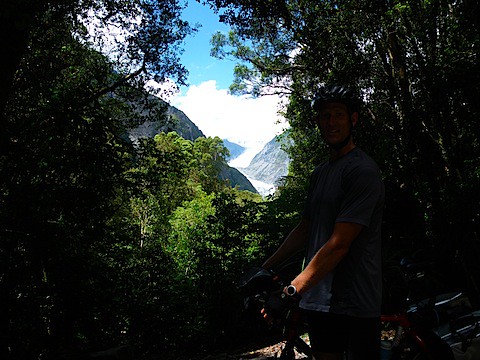 That's all of the glacial love you get for 4 miles of work. Next time, I'll just photoshop a postcard. Props out to the very nice ladies who took this picture for me, though.
Back on the road, I am looking for a spot that one of my favorite pictures of the 1985 trip was taken:
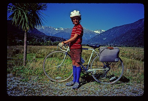 All I know about this picture is that it was taken "south of Fox". That leaves a lot of ground to cover. These socks cover a lot, as well. And are those shoes 'Roos?!
 Yeah, I'm not sure I got the spot right, either. And the camera is tilted. But YOU try to get a decent shot when you have 10 seconds to get 150 lbs of bike across a busy highway.
Actually, that last picture was take 4. You may enjoy evidence of just how difficult this was.
 Juuuuust a bit slow. Though the world seems less tilty than the above picture.
 Juuuuust about crushed. You can see me on the other side, just in front of the driver's scowl.
Finally come across the spot about 100 yards down that seems to be the actual spot that picture was taken, but there was nowhere to put the camera. Perhaps I will work some Photoshop magic someday.
 Good enough for government work.
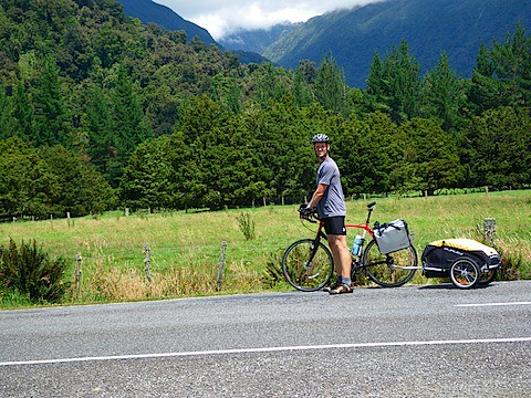
At this point, the road is fairly flat. No major hills from Fox all the way to Lake Paringa. Definitely start to feel the constant pedaling, though.
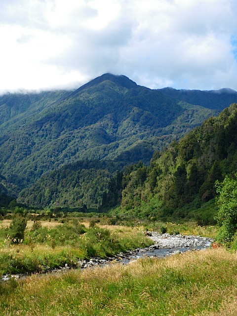
 Stopped to grab lunch #2 - can you believe that this scenery was all in the same day, and within cycling distance?
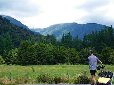
 Back away from the beach, getting closer to the lake. Talk about an incredible day. Reminds me, mountain-wise, of some of Alaska.
At last, hit Lake Paringa. It has been a long day, and I waste no time putting up camp. As soon as that is done, I am into the water (in my bike shorts) to wash both the bike shorts and the day's grime (sunscreen, road dirt, Deet, and a healthy amount of sweat-related salt in combination could really stun the olfactory senses.) Given the recent difficulties with my "waterproof" camera and river pictures, there is no photographic evidence of this, which I am sure is an enormous relief to you all.
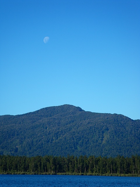 Moonrise. I sleep better in my tent knowing that the chance of a werewolf attack is very low.
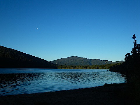 The setting sun. It is sleepy time for me.
Dinner is cold again - Why does PB&J never get old? Weird. Spend the requisite 15 minutes in senseless black fly killing, then crash out. Tomorrow's goal is the base of the nastiest climb of the entire trip - Haast Pass. Another 60 miles.
 The muffin was pretty good, enough that I took a picture of the cafe. Plus, they let me refill my water bottles here (the DOC campsites recommend treating any of the water you get there).
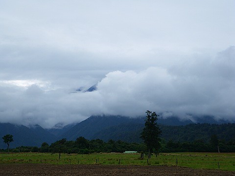 Getting closer to Franz Josef. Noting a lot of mountains, even if the clouds try to hide them.
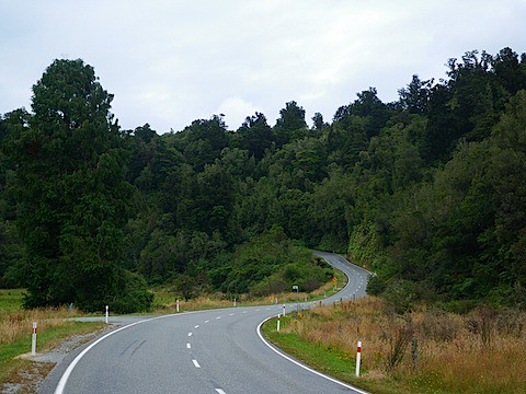 The start of the Mount Hercules climb. I actually remember this very spot from 1985. Just so you know, the tops of the trees there are definitely NOT the top fo the mountain.
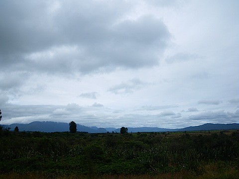 Looking out from the bottom of the other side of Mt. Hercules. The gray is starting to clear up a bit.
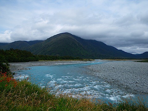 I know I'm getting close, now - the turquoise-blue means a glacial source.
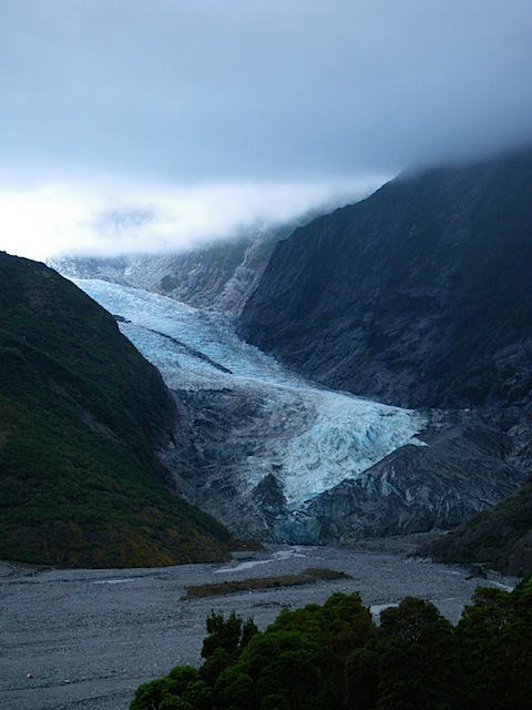 It's comin' right for us!
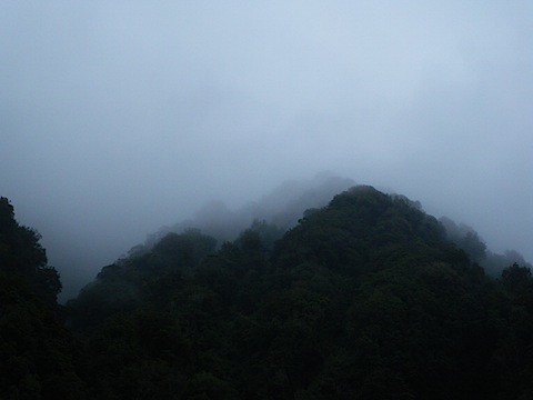 Nifty fog effect of some of the surrounding mountains. Very Lord-of-the-Ringsish.
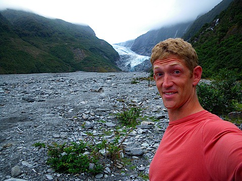 Freshly showered and in clean clothes. Mark this on your calendars.
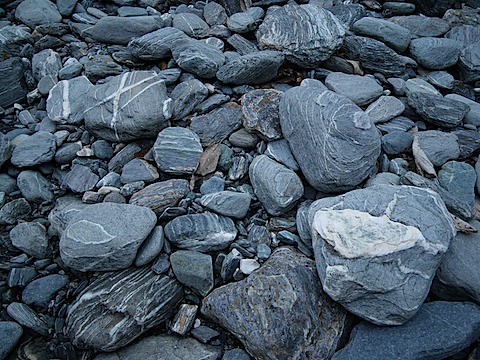 Glacial rocks. I thought they looked kind of like one of the Mac backgrounds.
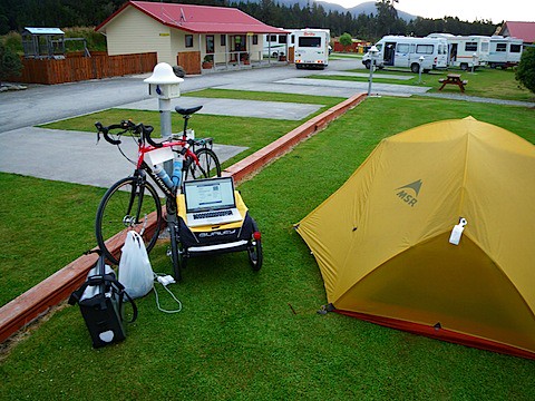 Let me introduce you to my mobile office.
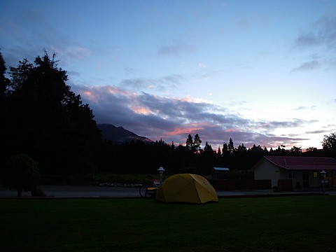 My humble campsite. Took this without looking sticking the camera outside an open window. Don't know why that fact is relevant.
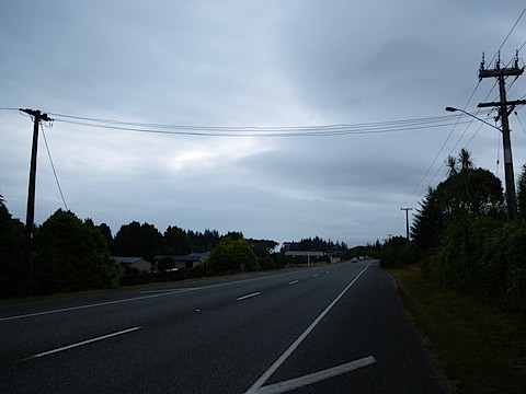 "Greymouth" as only the sky can tell it.
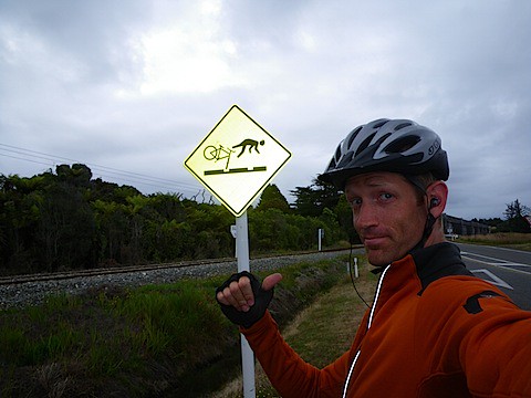 A shared train/road bridge. There were a lot of various dangerous crevasses and whatnot due to the complexities of having both run the same spot - there weren't even any train lights or gates. Darwin rules, baby. This sign seems to warn you by saying, "Don't ride a bike without a front wheel into a hole or you will leap forward and transform into a dog." It really does speak the international language of "What?"
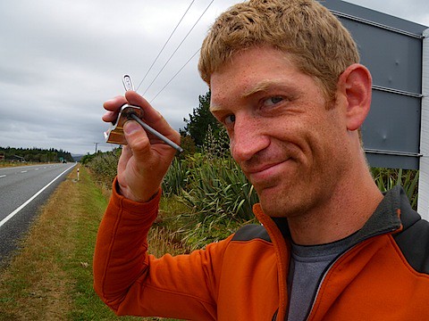 The offending part. Or, at least, most of it - the rest was ejected somewhere in the last 100 meters. The disappointment in my face has less to do with the breakdown and more to do with the excellent rhythm that I had going for me this morning, now broken as well.
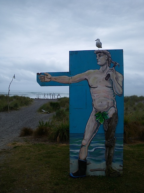 Look under his right hand and you will see where someone has spelled the town's name in driftwood. His left leg is made of driftwood as well. Actually a little creepy in a "hippy Terminator" sort of way.
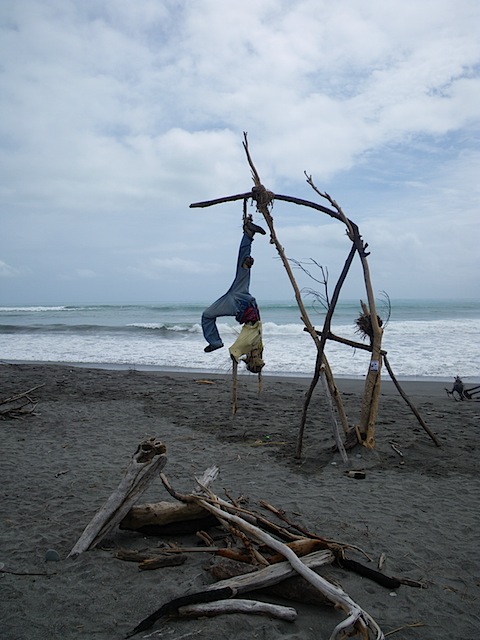 It was also a day of art, where people make the best artwork they can out of whatever has washed up on the beach. This was one of my favorites, though I'm a bit stuck on the symbolism other than the overly-concrete "don't step in any obvious mantraps on the beach, or you will end up upside-down and on display."
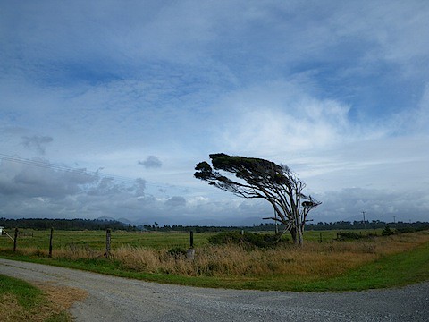 Just out of Hokitika. Trivia question: Which direction do the winds typically blow? Show your work.
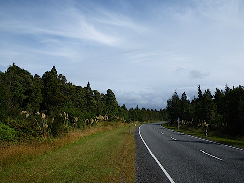 Further on, as I get into trees. It really is pleasant at this point as some of the clouds have broken up. Traffic is nice and light, too.
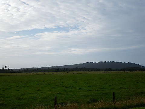 Back out of the trees, back to the cattle and sheep.
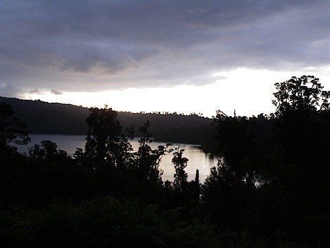 Lake Ianthe, as it turns out, the gateway to Black Fly Land.
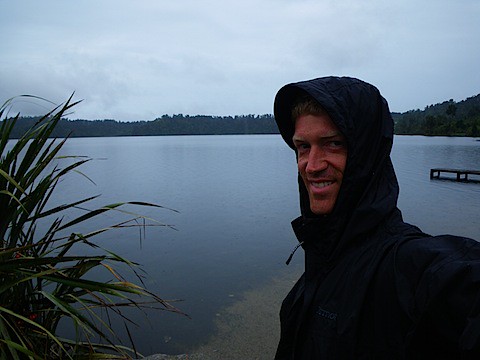 Hoods are making a comeback.
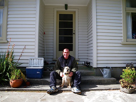 Don and their family dog, whose name just escaped me. I would like to interject a quick story - when Don and his wife were tramping through deep snow and it kept getting deeper, the poor dog couldn't keep up and they had to resort to tossing him forward into the snow, then fighting forward, finding him, and repeating. His description of the look the dog kept giving him was priceless.
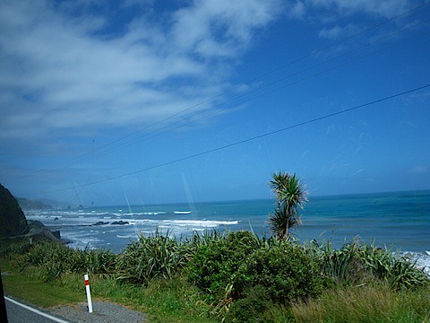 My old nemesis, power lines.
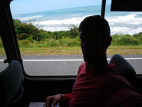 Cruising along the coast in my sweet ride. No knee pain today, other than that caused by the very small distance between seats. This particular bus was not set up for people that are 6'6".
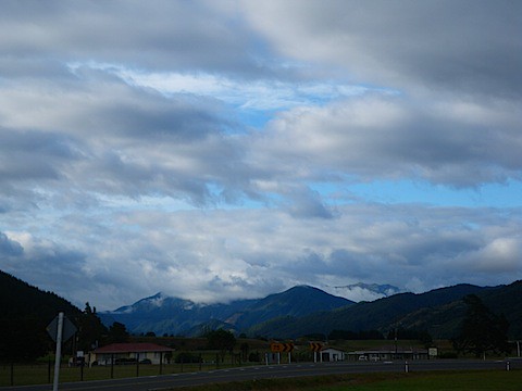 This is, unfortunately, the entirety of my pictures through beautiful Buller Gorge today. This is Murchison, at the upper end of the gorge and about 400 yards from where I camped.
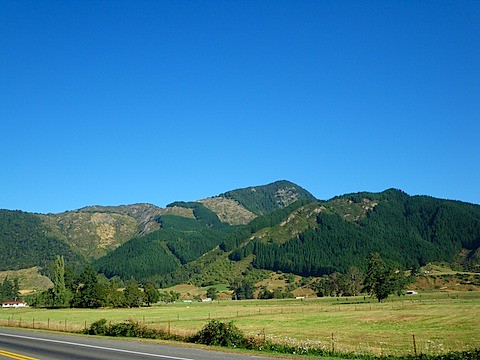 Forgot to put this picture in from last night - this is another angle from Murchison, showing the clear cutting that goes on all over New Zealand. They treat a lot of forests more like fields, harvesting wood and the replanting. Alas, it causes a lot of the mountains to look like Britney Spears during a crazy phase.
 Kerrie and her super-energetic dog, who will retrieve a stick until she drops (which would probably be around 2011 judging by her activity levels.) Very sweet.
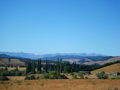 The pre-Hope Saddle scenery. Shaping up to be a really nice day, or, as I call them, "days where I blister". Kidding, kidding - I put sunscreen on this morning.
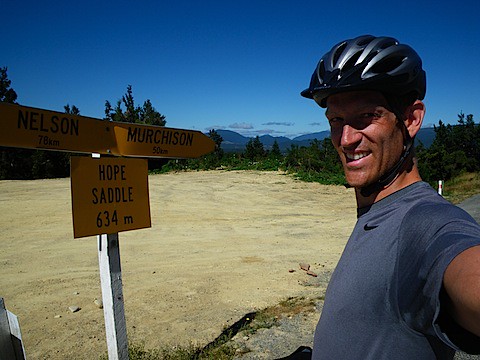 The pit stains tell the story of the morning's exertion. Yummy.
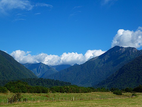
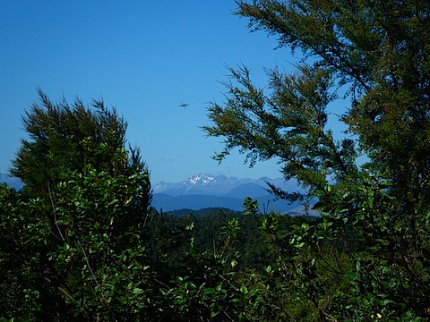 This is exciting for me - the first snowy peak of the South Island. Glaciers come soon! At least if my bike can hold together long enough!
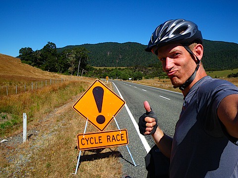 A bike race was occurring on this stretch of road. I would like to say that the bike trailer and panniers were my handicap for being so damn good, but the tightly-packed groups of racers soon wiped this expression from my face as they blasted past. Ego officially knocked down a peg.
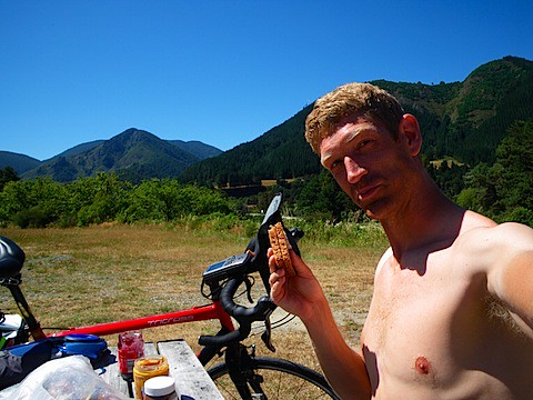 Try not to be shocked, but I have PB&J for lunch. It is pretty broiling at this point.
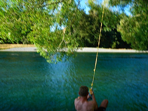 This is what happens when you have an eight-year-old take the picture. Actually, not too bad. Highlights the red neck very well.
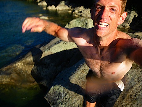 I caught, like, three feet of air there. (Anyone catch the reference?)
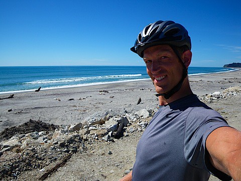
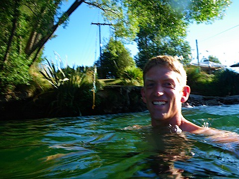 Water was warm and cleaned the road grime nicely. For my Alaskan friends right now, this is what water looks like when it's not solid.